Fir Hill - Harthill Field
Introduction
The photograph on this page of Fir Hill - Harthill Field by Rude Health as part of the Geograph project.
The Geograph project started in 2005 with the aim of publishing, organising and preserving representative images for every square kilometre of Great Britain, Ireland and the Isle of Man.

There are currently over 7.5m images from over 14,400 individuals and you can help contribute to the project by visiting https://www.geograph.org.uk
Fir Hill - Harthill Field
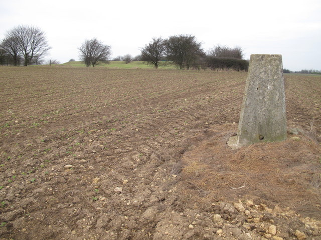
Image: © Rude Health Taken: 30 Jan 2011
Bagged the trig first then very easy access from cultivated field to south side of reservoir complex. Rotherham current county/UA top. Name: Fir Hill - Harthill Field Hill number: 5534 Height: 157m / 515ft Area: 37: The River Tees to The Wash Class: CoU Grid ref: SK 49447 79700 Summit feature: no feature: unmarked spot height by covered reservoir Drop: 23m Col: 134m SK497782
Images are licensed for reuse under creativecommons.org/licenses/by-sa/2.0
Image Location
Latitude
53.311214
Longitude
-1.258683