Hidden pond
Introduction
The photograph on this page of Hidden pond by Phil Williams as part of the Geograph project.
The Geograph project started in 2005 with the aim of publishing, organising and preserving representative images for every square kilometre of Great Britain, Ireland and the Isle of Man.

There are currently over 7.5m images from over 14,400 individuals and you can help contribute to the project by visiting https://www.geograph.org.uk
Hidden pond
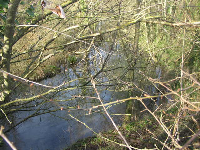
Image: © Phil Williams Taken: 4 Feb 2007
A view looking to the northwest and down through the thorny hedge which hides this large pond from the casual passer-by on the lane between Tytherington to Sutton Veny.
Images are licensed for reuse under creativecommons.org/licenses/by-sa/2.0
Image Location
Latitude
51.167817
Longitude
-2.124953