Hengoed 'High Level' railway station (site), Gwent
Introduction
The photograph on this page of Hengoed 'High Level' railway station (site), Gwent by Nigel Thompson as part of the Geograph project.
The Geograph project started in 2005 with the aim of publishing, organising and preserving representative images for every square kilometre of Great Britain, Ireland and the Isle of Man.

There are currently over 7.5m images from over 14,400 individuals and you can help contribute to the project by visiting https://www.geograph.org.uk
Hengoed 'High Level' railway station (site), Gwent
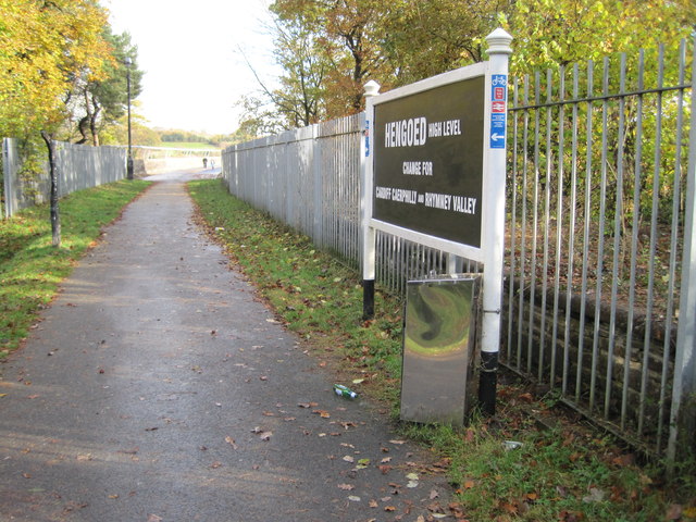
Image: © Nigel Thompson Taken: 10 Nov 2012
Opened in 1858 on the Taff Vale Extension Railway to Pontypool, this station closed in 1964. View east onto Maesycwmmer (or Hengoed) Viaduct. The route is now a cycle path.
Images are licensed for reuse under creativecommons.org/licenses/by-sa/2.0
Image Location
Latitude
51.646686
Longitude
-3.224253