Clapton Mill
Introduction
The photograph on this page of Clapton Mill by ANDY FISH as part of the Geograph project.
The Geograph project started in 2005 with the aim of publishing, organising and preserving representative images for every square kilometre of Great Britain, Ireland and the Isle of Man.

There are currently over 7.5m images from over 14,400 individuals and you can help contribute to the project by visiting https://www.geograph.org.uk
Clapton Mill
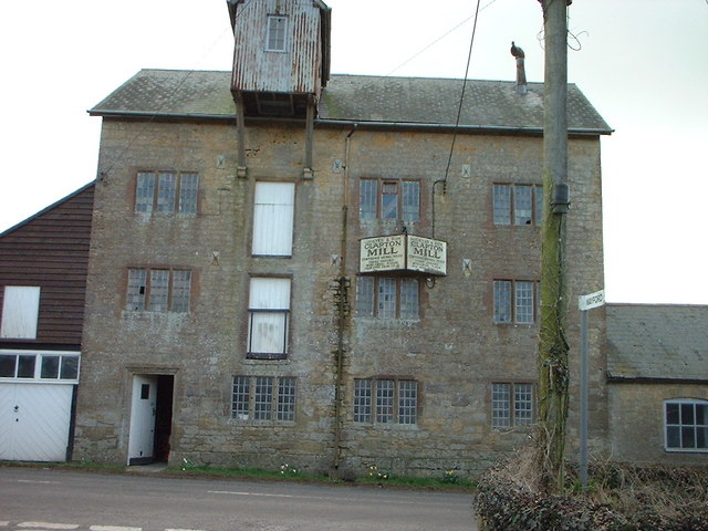
Image: © ANDY FISH Taken: 4 Apr 2006
Corn milling has taken place at Clapton Mill since at least 1257. It has a huge 21ft diameter waterwheel - fed from two rivers driving four pairs of stones, and a complete Armfield roller mill plant with its original Ruston and Hornsby oil engine. The Mill worked commercially until 1991. A recently installed hydroelectric turbine, generating green energy, has also brought new life to the mill.
Images are licensed for reuse under creativecommons.org/licenses/by-sa/2.0
Image Location


Leaflet Map data © OpenStreetMap
Latitude
50.853223
Longitude
-2.835267