Site/remains of Church Village Halt
Introduction
The photograph on this page of Site/remains of Church Village Halt by Ben Brooksbank as part of the Geograph project.
The Geograph project started in 2005 with the aim of publishing, organising and preserving representative images for every square kilometre of Great Britain, Ireland and the Isle of Man.

There are currently over 7.5m images from over 14,400 individuals and you can help contribute to the project by visiting https://www.geograph.org.uk
Site/remains of Church Village Halt
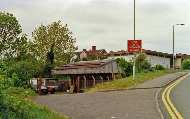
Image: © Ben Brooksbank Taken: 19 May 1990
View NW to A473 road; ex-Taff Vale Pontypridd (right) - Llantrisant (left) line, closed since 6/3/52.
Images are licensed for reuse under creativecommons.org/licenses/by-sa/2.0
Image Location
Latitude
51.563286
Longitude
-3.319826