South end of Carrington Lane, Calverton
Introduction
The photograph on this page of South end of Carrington Lane, Calverton by Richard Vince as part of the Geograph project.
The Geograph project started in 2005 with the aim of publishing, organising and preserving representative images for every square kilometre of Great Britain, Ireland and the Isle of Man.

There are currently over 7.5m images from over 14,400 individuals and you can help contribute to the project by visiting https://www.geograph.org.uk
South end of Carrington Lane, Calverton
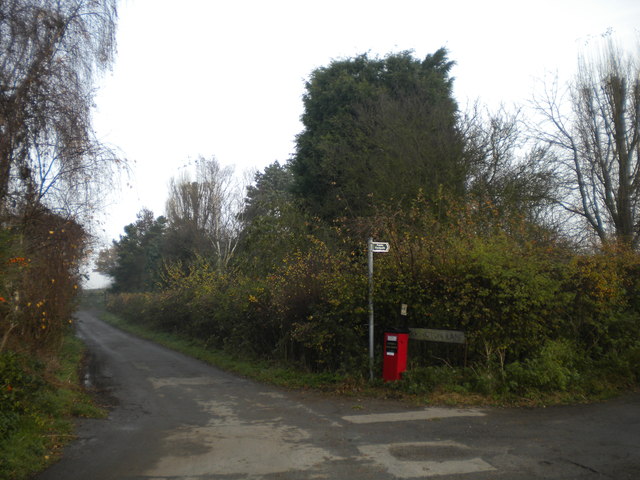
Image: © Richard Vince Taken: 24 Nov 2012
At this point, Carrington Lane (left) meets Crookdole Lane, which leads into Calverton proper to the west, but continues east from here as a track (right), which is shared for some distance by a public footpath, hence the sign.
Images are licensed for reuse under creativecommons.org/licenses/by-sa/2.0
Image Location
Latitude
53.038978
Longitude
-1.072756