The northern fringe of Calverton
Introduction
The photograph on this page of The northern fringe of Calverton by Richard Vince as part of the Geograph project.
The Geograph project started in 2005 with the aim of publishing, organising and preserving representative images for every square kilometre of Great Britain, Ireland and the Isle of Man.

There are currently over 7.5m images from over 14,400 individuals and you can help contribute to the project by visiting https://www.geograph.org.uk
The northern fringe of Calverton
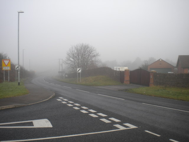
Image: © Richard Vince Taken: 24 Nov 2012
This is the junction of Flatts Lane (left) with Mansfield Lane, which effectively marks the northernmost point in Calverton village. A junction with the B6386 is less than a quarter of a mile away (hence the advance Give Way sign), but was hidden in the mist when this picture was taken.
Images are licensed for reuse under creativecommons.org/licenses/by-sa/2.0
Image Location
Latitude
53.046888
Longitude
-1.084221