Flatts Lane, Calverton
Introduction
The photograph on this page of Flatts Lane, Calverton by Richard Vince as part of the Geograph project.
The Geograph project started in 2005 with the aim of publishing, organising and preserving representative images for every square kilometre of Great Britain, Ireland and the Isle of Man.

There are currently over 7.5m images from over 14,400 individuals and you can help contribute to the project by visiting https://www.geograph.org.uk
Flatts Lane, Calverton
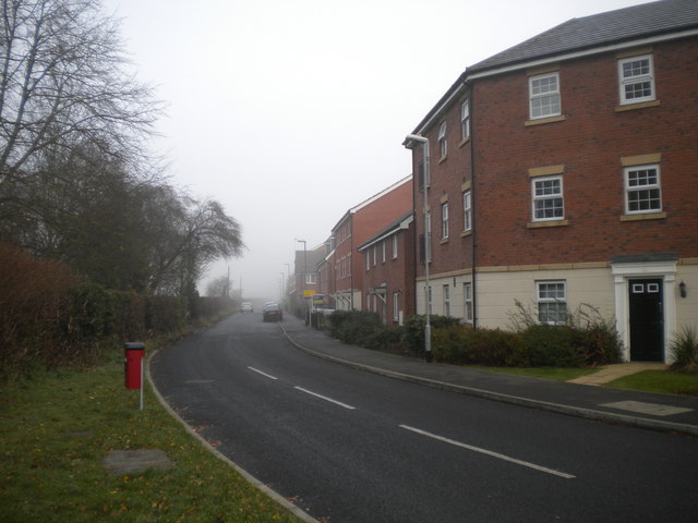
Image: © Richard Vince Taken: 24 Nov 2012
Housing in Calverton has recently expanded northwards along the northern half of Flatts Lane (north of Park Road). The contrived variety and attempted Georgian styling seem typical of housing built in the last few years.
Images are licensed for reuse under creativecommons.org/licenses/by-sa/2.0
Image Location
Latitude
53.043129
Longitude
-1.086389