Aberdare (High Level) railway station (site), Mid Glamorgan
Introduction
The photograph on this page of Aberdare (High Level) railway station (site), Mid Glamorgan by Nigel Thompson as part of the Geograph project.
The Geograph project started in 2005 with the aim of publishing, organising and preserving representative images for every square kilometre of Great Britain, Ireland and the Isle of Man.

There are currently over 7.5m images from over 14,400 individuals and you can help contribute to the project by visiting https://www.geograph.org.uk
Aberdare (High Level) railway station (site), Mid Glamorgan
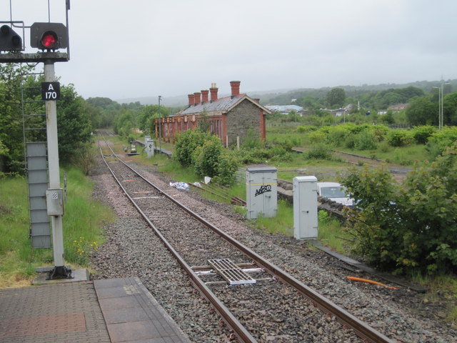
Image: © Nigel Thompson Taken: 28 May 2011
Opened in 1851 by the Vale of Neath Railway on the line from Swansea to Pontypool Road, this station closed in 1964. View north west from the new Aberdare station on what is now a freight-only line to Tower where, at the time of this image, the line ended. The old station had by now lost its canopy - compare to a 2000 view Image
Images are licensed for reuse under creativecommons.org/licenses/by-sa/2.0
Image Location
Latitude
51.715236
Longitude
-3.443089