Junction on Coombe Vale Road
Introduction
The photograph on this page of Junction on Coombe Vale Road by Robin Stott as part of the Geograph project.
The Geograph project started in 2005 with the aim of publishing, organising and preserving representative images for every square kilometre of Great Britain, Ireland and the Isle of Man.

There are currently over 7.5m images from over 14,400 individuals and you can help contribute to the project by visiting https://www.geograph.org.uk
Junction on Coombe Vale Road
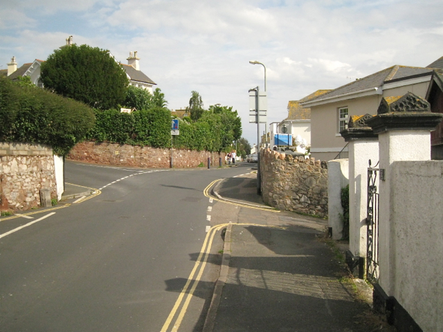
Image: © Robin Stott Taken: 14 Jul 2012
One of West Teignmouth's older residential roads, with early 19th-century villas sporting characteristically shallow-pitched roofs (right). Landscore Road comes in from the left; Keatings Lane drops steeply down right; the top of Reed Vale is hardly visible beyond the lighting column. Another view of the junction is Image
Images are licensed for reuse under creativecommons.org/licenses/by-sa/2.0
Image Location
Latitude
50.549533
Longitude
-3.506002