Cawney Hill
Introduction
The photograph on this page of Cawney Hill by Rude Health as part of the Geograph project.
The Geograph project started in 2005 with the aim of publishing, organising and preserving representative images for every square kilometre of Great Britain, Ireland and the Isle of Man.

There are currently over 7.5m images from over 14,400 individuals and you can help contribute to the project by visiting https://www.geograph.org.uk
Cawney Hill
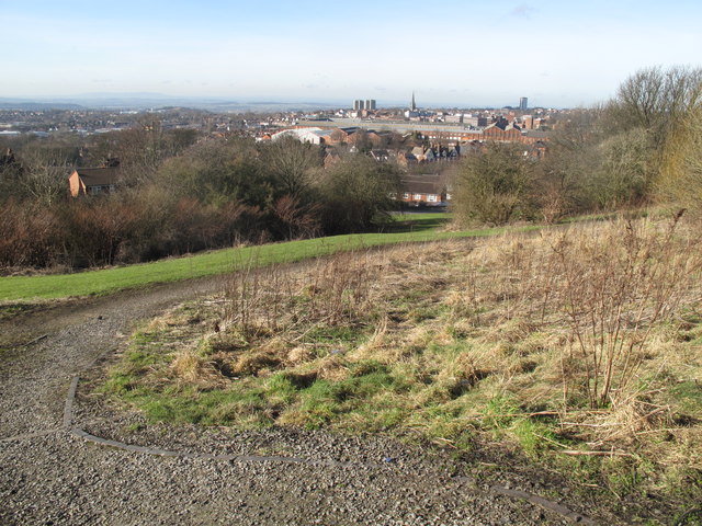
Image: © Rude Health Taken: 8 Feb 2011
Walked up Tansley Hill Road and round boundary of reservoir as best as brambles and other obstacles allowed...good views to the north from near the bench. Dudley current county/UA top. Name: Cawney Hill Hill number: 5499 Height: 251m / 823ft Area: 39: Central and Eastern England Class: CoU Grid ref: SO 95350 89720 (est) Summit feature: Within reservoir compound Drop: 27m Col: 224m SO957895
Images are licensed for reuse under creativecommons.org/licenses/by-sa/2.0
Image Location
Latitude
52.505535
Longitude
-2.070968