'The Greyhound Inn' at Pettistree
Introduction
The photograph on this page of 'The Greyhound Inn' at Pettistree by Robert Edwards as part of the Geograph project.
The Geograph project started in 2005 with the aim of publishing, organising and preserving representative images for every square kilometre of Great Britain, Ireland and the Isle of Man.

There are currently over 7.5m images from over 14,400 individuals and you can help contribute to the project by visiting https://www.geograph.org.uk
'The Greyhound Inn' at Pettistree
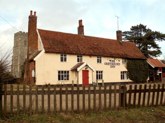
Image: © Robert Edwards Taken: 5 Feb 2007
This is an old grade 2 listed timber-framed building with many of the timbers exposed at the rear of the building. There is a suggestion that it might have been a priest's house or used by another important village person as it is a building where Manor Courts were held in the 18th century and also inquests in the 19th century. The 15th century tower of the parish church can be seen on the left of the picture.
Images are licensed for reuse under creativecommons.org/licenses/by-sa/2.0
Image Location


Leaflet Map data © OpenStreetMap
Latitude
52.144553
Longitude
1.357174