Ashby Place, Hoole, Chester
Introduction
The photograph on this page of Ashby Place, Hoole, Chester by Jeff Buck as part of the Geograph project.
The Geograph project started in 2005 with the aim of publishing, organising and preserving representative images for every square kilometre of Great Britain, Ireland and the Isle of Man.

There are currently over 7.5m images from over 14,400 individuals and you can help contribute to the project by visiting https://www.geograph.org.uk
Ashby Place, Hoole, Chester
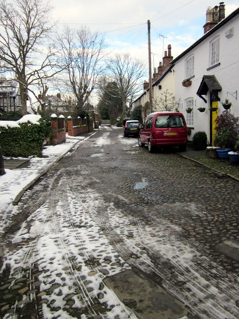
Image: © Jeff Buck Taken: 22 Jan 2013
The cobbled street of Ashby Place near Flookersbrook. Flookersbrook has been cut off from Hoole Road which is now the main route into Chester and retains a quiet almost village atmosphere.
Images are licensed for reuse under creativecommons.org/licenses/by-sa/2.0
Image Location
Latitude
53.199698
Longitude
-2.880478