Hollingbury Park
Introduction
The photograph on this page of Hollingbury Park by Simon Carey as part of the Geograph project.
The Geograph project started in 2005 with the aim of publishing, organising and preserving representative images for every square kilometre of Great Britain, Ireland and the Isle of Man.

There are currently over 7.5m images from over 14,400 individuals and you can help contribute to the project by visiting https://www.geograph.org.uk
Hollingbury Park
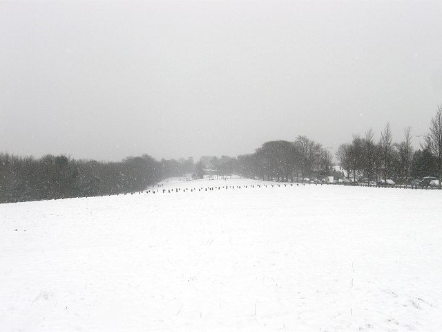
Image: © Simon Carey Taken: 20 Jan 2013
The park runs parallel to Ditchling Road, which is on the right, from the drive to Hollingbury Park Golf Course's clubhouse to the northern end of Hollingdean. The small wooden stakes in the distance mark the location of the drive to Image
Images are licensed for reuse under creativecommons.org/licenses/by-sa/2.0
Image Location
Latitude
50.850753
Longitude
-0.134733