Withdean Park
Introduction
The photograph on this page of Withdean Park by Simon Carey as part of the Geograph project.
The Geograph project started in 2005 with the aim of publishing, organising and preserving representative images for every square kilometre of Great Britain, Ireland and the Isle of Man.

There are currently over 7.5m images from over 14,400 individuals and you can help contribute to the project by visiting https://www.geograph.org.uk
Withdean Park
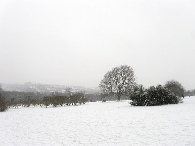
Image: © Simon Carey Taken: 20 Jan 2013
The eastern end of the park which is higher than the western part near London Road. Once part of Withdean Farm it was acquired by the council in the 1930s.
Images are licensed for reuse under creativecommons.org/licenses/by-sa/2.0
Image Location
Latitude
50.854385
Longitude
-0.148228