Rockway, Curry Mallet
Introduction
The photograph on this page of Rockway, Curry Mallet by Nigel Mykura as part of the Geograph project.
The Geograph project started in 2005 with the aim of publishing, organising and preserving representative images for every square kilometre of Great Britain, Ireland and the Isle of Man.

There are currently over 7.5m images from over 14,400 individuals and you can help contribute to the project by visiting https://www.geograph.org.uk
Rockway, Curry Mallet
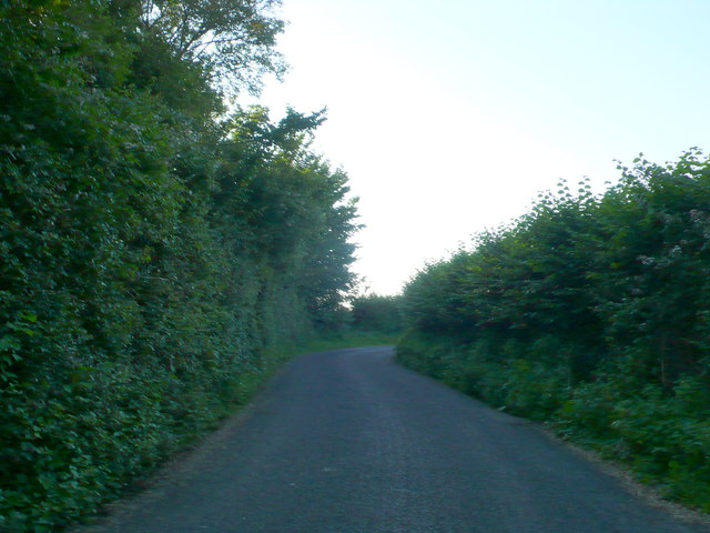
Image: © Nigel Mykura Taken: 22 Jul 2012
Unsurprisingly perhaps this winding lane leads from Curry Mallet to the hamlet of Rock.
Images are licensed for reuse under creativecommons.org/licenses/by-sa/2.0
Image Location
Latitude
50.99391
Longitude
-2.95834