Lansdown houses, Stroud
Introduction
The photograph on this page of Lansdown houses, Stroud by Jaggery as part of the Geograph project.
The Geograph project started in 2005 with the aim of publishing, organising and preserving representative images for every square kilometre of Great Britain, Ireland and the Isle of Man.

There are currently over 7.5m images from over 14,400 individuals and you can help contribute to the project by visiting https://www.geograph.org.uk
Lansdown houses, Stroud
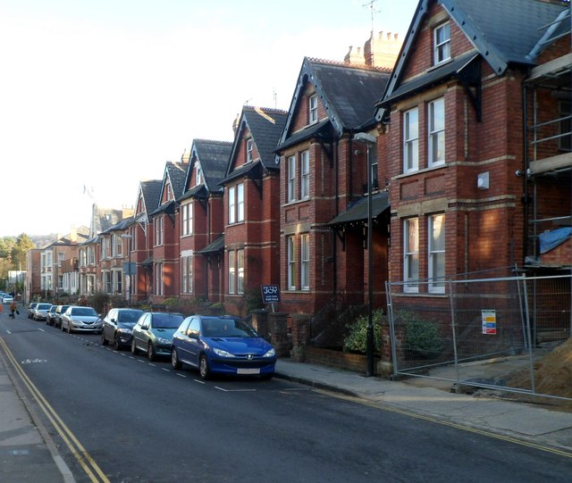
Image: © Jaggery Taken: 8 Jan 2012
Houses on the south side of a street named Lansdown, viewed from the Locking Hill end. The temporary fencing on the right is at the perimeter of a site where houses are being built.
Images are licensed for reuse under creativecommons.org/licenses/by-sa/2.0
Image Location


Leaflet Map data © OpenStreetMap
Latitude
51.747103
Longitude
-2.213891