Footpath to Grove Park
Introduction
The photograph on this page of Footpath to Grove Park by David Anstiss as part of the Geograph project.
The Geograph project started in 2005 with the aim of publishing, organising and preserving representative images for every square kilometre of Great Britain, Ireland and the Isle of Man.

There are currently over 7.5m images from over 14,400 individuals and you can help contribute to the project by visiting https://www.geograph.org.uk
Footpath to Grove Park
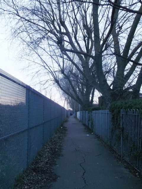
Image: © David Anstiss Taken: 13 Jan 2013
This path leads from Dan Mason Drive near the River Thames (and Thames Path - long distance path), before following a railway line (on the left) towards Russell Kerr Close, Grove Park. Although access can be made to Great Chertsey Road, via a flight of stairs. On the right, is Stavelly Gardens housing estate.
Images are licensed for reuse under creativecommons.org/licenses/by-sa/2.0
Image Location
Latitude
51.47625
Longitude
-0.259812