Anderton Road turning circle, Victoria Farm
Introduction
The photograph on this page of Anderton Road turning circle, Victoria Farm by Richard Vince as part of the Geograph project.
The Geograph project started in 2005 with the aim of publishing, organising and preserving representative images for every square kilometre of Great Britain, Ireland and the Isle of Man.

There are currently over 7.5m images from over 14,400 individuals and you can help contribute to the project by visiting https://www.geograph.org.uk
Anderton Road turning circle, Victoria Farm
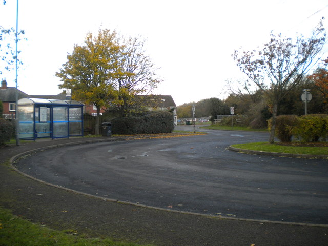
Image: © Richard Vince Taken: 10 Nov 2012
As National Express Coventry route 6A does a one way loop around Victoria Farm estate, this turning circle is no longer used to turn buses, though they often wait here as it is the nominal terminus of the route.
Images are licensed for reuse under creativecommons.org/licenses/by-sa/2.0
Image Location
Latitude
52.453244
Longitude
-1.475947