Coventry Canal in Longford
Introduction
The photograph on this page of Coventry Canal in Longford by Richard Vince as part of the Geograph project.
The Geograph project started in 2005 with the aim of publishing, organising and preserving representative images for every square kilometre of Great Britain, Ireland and the Isle of Man.

There are currently over 7.5m images from over 14,400 individuals and you can help contribute to the project by visiting https://www.geograph.org.uk
Coventry Canal in Longford
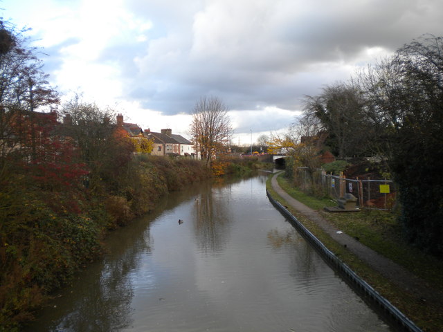
Image: © Richard Vince Taken: 10 Nov 2012
Looking east along the Coventry Canal from the footbridge that connects Sydnall Road and Lady Lane. The next bridge carries Bedworth Road, the old main road between Coventry and Bedworth (now superseded by the A444).
Images are licensed for reuse under creativecommons.org/licenses/by-sa/2.0
Image Location
Latitude
52.452214
Longitude
-1.487142