Oban Road turning circle, Longford (1)
Introduction
The photograph on this page of Oban Road turning circle, Longford (1) by Richard Vince as part of the Geograph project.
The Geograph project started in 2005 with the aim of publishing, organising and preserving representative images for every square kilometre of Great Britain, Ireland and the Isle of Man.

There are currently over 7.5m images from over 14,400 individuals and you can help contribute to the project by visiting https://www.geograph.org.uk
Oban Road turning circle, Longford (1)
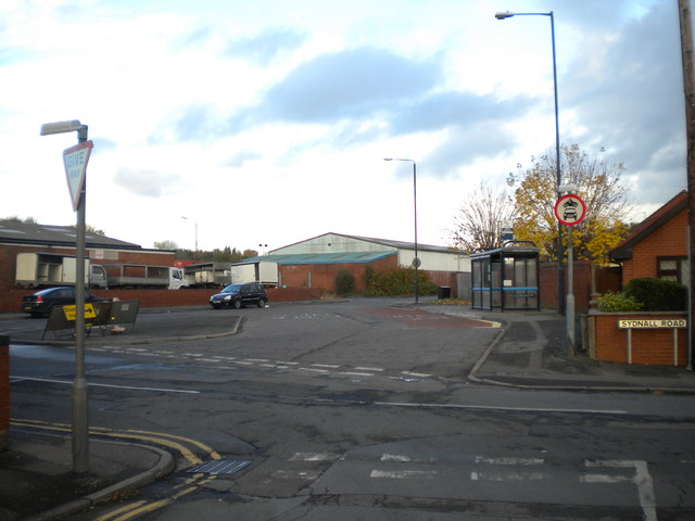
Image: © Richard Vince Taken: 10 Nov 2012
The bus turning circle at the west end of Oban Road is no longer necessary for turning buses, as the route that serves Oban Road (effectively a shortworking of route 20 from Coventry city centre to Bedworth) returns to the main road via Woodshires Road (out of frame to the left). However, with the bus stop still in the turning circle, it effectively functions as a large layby. This is a largely residential part of the city, despite the industrial premises visible on Oban Road.
Images are licensed for reuse under creativecommons.org/licenses/by-sa/2.0
Image Location
Latitude
52.45285
Longitude
-1.488607