Path at The Grange, Beddington Park, 1967
Introduction
The photograph on this page of Path at The Grange, Beddington Park, 1967 by Derek Harper as part of the Geograph project.
The Geograph project started in 2005 with the aim of publishing, organising and preserving representative images for every square kilometre of Great Britain, Ireland and the Isle of Man.

There are currently over 7.5m images from over 14,400 individuals and you can help contribute to the project by visiting https://www.geograph.org.uk
Path at The Grange, Beddington Park, 1967
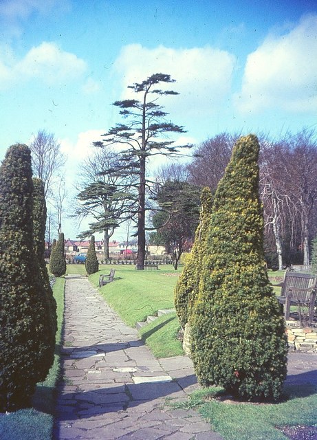
Image: © Derek Harper Taken: Unknown
Neat yews in a pair of groups at either end of this path, with a cedar at the end by a water channel. Behind is the car park.
Images are licensed for reuse under creativecommons.org/licenses/by-sa/2.0
Image Location
Latitude
51.37197
Longitude
-0.150409