View to The Doward
Introduction
The photograph on this page of View to The Doward by Jonathan Billinger as part of the Geograph project.
The Geograph project started in 2005 with the aim of publishing, organising and preserving representative images for every square kilometre of Great Britain, Ireland and the Isle of Man.

There are currently over 7.5m images from over 14,400 individuals and you can help contribute to the project by visiting https://www.geograph.org.uk
View to The Doward
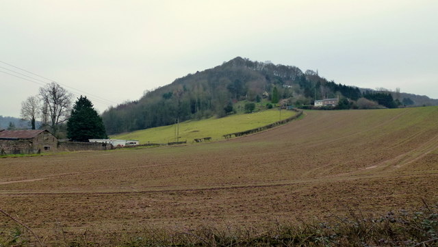
Image: © Jonathan Billinger Taken: 17 Jan 2013
The top is beyond the crest in this shot. The wooded hill rises to 201m.
Images are licensed for reuse under creativecommons.org/licenses/by-sa/2.0
Image Location


Leaflet Map data © OpenStreetMap
Latitude
51.851669
Longitude
-2.652838