Detached Houses Harestock Close
Introduction
The photograph on this page of Detached Houses Harestock Close by Nigel Mykura as part of the Geograph project.
The Geograph project started in 2005 with the aim of publishing, organising and preserving representative images for every square kilometre of Great Britain, Ireland and the Isle of Man.

There are currently over 7.5m images from over 14,400 individuals and you can help contribute to the project by visiting https://www.geograph.org.uk
Detached Houses Harestock Close
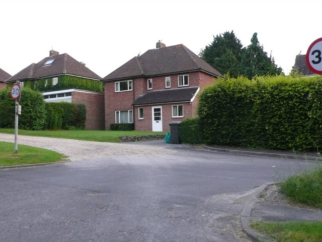
Image: © Nigel Mykura Taken: 25 Jul 2012
Harestock close runs parallel and alongside the Andover road, the B3420 running north west out of the city of Winchester. The two roads are on the alignment of an old Roman road. These detached houses face onto open fields.
Images are licensed for reuse under creativecommons.org/licenses/by-sa/2.0
Image Location
Latitude
51.085584
Longitude
-1.331352