Henstridge Airfield
Introduction
The photograph on this page of Henstridge Airfield by M J Richardson as part of the Geograph project.
The Geograph project started in 2005 with the aim of publishing, organising and preserving representative images for every square kilometre of Great Britain, Ireland and the Isle of Man.

There are currently over 7.5m images from over 14,400 individuals and you can help contribute to the project by visiting https://www.geograph.org.uk
Henstridge Airfield
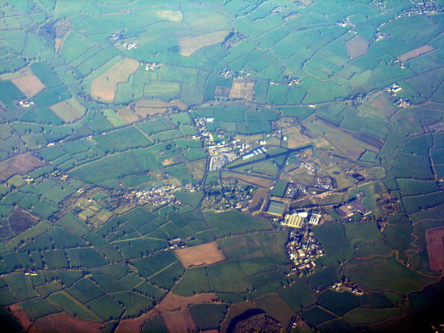
Image: © M J Richardson Taken: 11 Jan 2013
In Blackmoor Vale. Apparently, from other postings, not active. Seen from the air 17 minutes after leaving Gatwick.
Images are licensed for reuse under creativecommons.org/licenses/by-sa/2.0
Image Location


Leaflet Map data © OpenStreetMap
Latitude
50.983335
Longitude
-2.364639