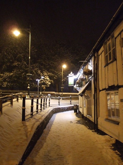
Pavement past the Robin Hood
Introduction
The photograph on this page of Pavement past the Robin Hood by Rob Farrow as part of the Geograph project.
The Geograph project started in 2005 with the aim of publishing, organising and preserving representative images for every square kilometre of Great Britain, Ireland and the Isle of Man.
There are currently over 7.5m images from over 14,400 individuals and you can help contribute to the project by visiting https://www.geograph.org.uk

Image: © Rob Farrow Taken: 20 Jan 2013
The Robin Hood pub is on the corner of the High Street and Brook Street in Tring. It is at a lower level than the road that passes it so the pavement is in something of a culvert as can be seen in this picture. The trees in the background are in the Memorial Gardens on the opposite side of the High Street. These gardens were once the site of the hamlet of Lower Dunsley, and the Robin Hood would have been on the cross-roads where that hamlet met the town of Tring.

