Entrance to alleyway to Tring Park
Introduction
The photograph on this page of Entrance to alleyway to Tring Park by Rob Farrow as part of the Geograph project.
The Geograph project started in 2005 with the aim of publishing, organising and preserving representative images for every square kilometre of Great Britain, Ireland and the Isle of Man.

There are currently over 7.5m images from over 14,400 individuals and you can help contribute to the project by visiting https://www.geograph.org.uk
Entrance to alleyway to Tring Park
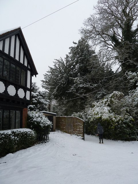
Image: © Rob Farrow Taken: 20 Jan 2013
Next to Image] is an alleyway that leads to Tring Park. It runs between the grounds of the Mansion House (now Tring Park School http://www.tringpark.com ) and Dawes Meadow (Image]). It then crosses the A41 by-pass via the "curly wurly" bridge into the park which is now administered by The Woodland Trust ( http://www.woodlandtrust.org.uk/en/our-woods/Pages/wood-details.aspx?wood=4675 )
Images are licensed for reuse under creativecommons.org/licenses/by-sa/2.0
Image Location
Latitude
51.790468
Longitude
-0.660262