Lovat Lane
Introduction
The photograph on this page of Lovat Lane by Roger Jones as part of the Geograph project.
The Geograph project started in 2005 with the aim of publishing, organising and preserving representative images for every square kilometre of Great Britain, Ireland and the Isle of Man.

There are currently over 7.5m images from over 14,400 individuals and you can help contribute to the project by visiting https://www.geograph.org.uk
Lovat Lane
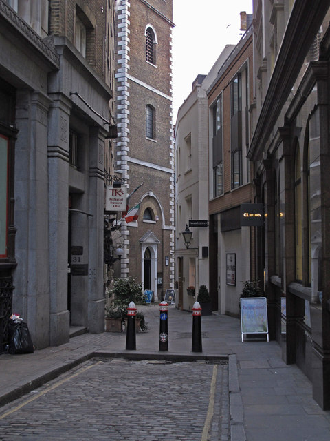
Image: © Roger Jones Taken: 16 Jan 2013
Lovat Lane leads from Eastcheap to the Wren church St Mary at Hill, see http://www.webcitation.org/6Dpy8ZAKs .
Images are licensed for reuse under creativecommons.org/licenses/by-sa/2.0
Image Location
Latitude
51.510199
Longitude
-0.084001