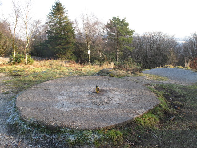
Billinge Hill
Introduction
The photograph on this page of Billinge Hill by Rude Health as part of the Geograph project.
The Geograph project started in 2005 with the aim of publishing, organising and preserving representative images for every square kilometre of Great Britain, Ireland and the Isle of Man.
There are currently over 7.5m images from over 14,400 individuals and you can help contribute to the project by visiting https://www.geograph.org.uk

Image: © Rude Health Taken: 29 Jan 2011
Done many times out running while staying on Redlam Road, Blackburn. Revisit in cool frosty afternoon, top is now crossed by mountain bike trails. Name: Billinge Hill Hill number: 5326 Height: 245m / 804ft Area: 36: Lancashire, Cheshire & the Southern Pennines Class: Hu Grid ref: SD 65732 28191 Summit feature: circular concrete plinth Drop: 117m Col: 128m SD713304

