
High Billinge
Introduction
The photograph on this page of High Billinge by Rude Health as part of the Geograph project.
The Geograph project started in 2005 with the aim of publishing, organising and preserving representative images for every square kilometre of Great Britain, Ireland and the Isle of Man.

There are currently over 7.5m images from over 14,400 individuals and you can help contribute to the project by visiting https://www.geograph.org.uk
High Billinge
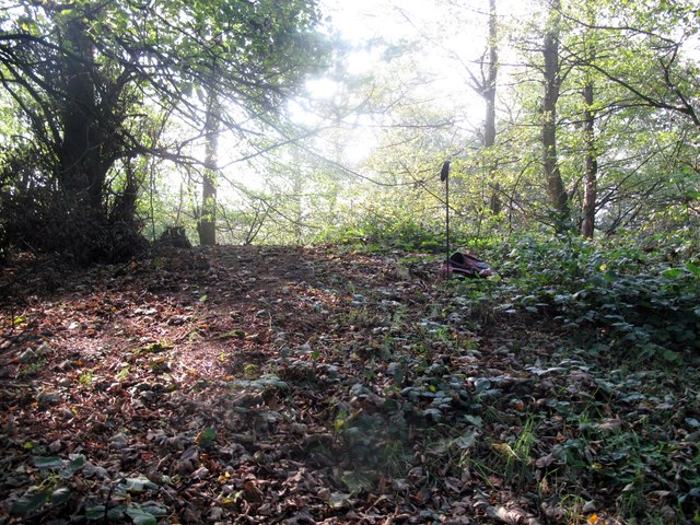
Image: © Rude Health Taken: 15 Oct 2011
Thanks to Malcolm Corbett for finding this HuMP while doing some P30s. Climbing the 2 gates was easier than gaining a reliable GPS signal in this copse. Name: High Billinge Hill number: 7824 Height: 178.6m / 586ft Area: 36: Lancashire, Cheshire & the Southern Pennines Class: Hu Grid ref: SJ 55467 66216 Summit feature: no feature Drop: 127m Col: 52m SJ597582
Images are licensed for reuse under creativecommons.org/licenses/by-sa/2.0
Image Location

Latitude
53.1911
Longitude
-2.668221