Woodland Hanger
Introduction
The photograph on this page of Woodland Hanger by Hugh Craddock as part of the Geograph project.
The Geograph project started in 2005 with the aim of publishing, organising and preserving representative images for every square kilometre of Great Britain, Ireland and the Isle of Man.

There are currently over 7.5m images from over 14,400 individuals and you can help contribute to the project by visiting https://www.geograph.org.uk
Woodland Hanger
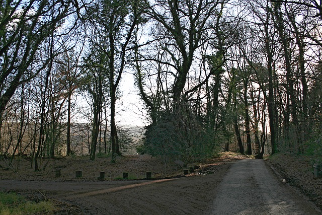
Image: © Hugh Craddock Taken: 1 Jan 2013
Marley Lane across Woodland Hanger, an extension of Marley Common at its south-east corner. The common is part-owned by the National Trust. To the left is a subsidiary drive to Rosemary Park.
Images are licensed for reuse under creativecommons.org/licenses/by-sa/2.0
Image Location
Latitude
51.068632
Longitude
-0.729306