A102(M) at Blackheath
Introduction
The photograph on this page of A102(M) at Blackheath by Malc McDonald as part of the Geograph project.
The Geograph project started in 2005 with the aim of publishing, organising and preserving representative images for every square kilometre of Great Britain, Ireland and the Isle of Man.

There are currently over 7.5m images from over 14,400 individuals and you can help contribute to the project by visiting https://www.geograph.org.uk
A102(M) at Blackheath
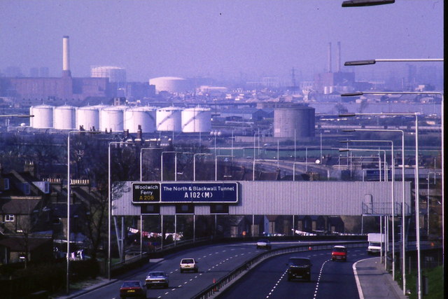
Image: © Malc McDonald Taken: 3 Apr 1988
The A102(M) trunk road heading towards Blackwall Tunnel, where it will pass beneath the River Thames. Compare this view, taken in 1988, with one taken in 2011 from almost exactly the same spot: Image
Images are licensed for reuse under creativecommons.org/licenses/by-sa/2.0
Image Location
Latitude
51.480194
Longitude
0.021314