Railway bridge, Cockington Lane
Introduction
The photograph on this page of Railway bridge, Cockington Lane by Derek Harper as part of the Geograph project.
The Geograph project started in 2005 with the aim of publishing, organising and preserving representative images for every square kilometre of Great Britain, Ireland and the Isle of Man.

There are currently over 7.5m images from over 14,400 individuals and you can help contribute to the project by visiting https://www.geograph.org.uk
Railway bridge, Cockington Lane
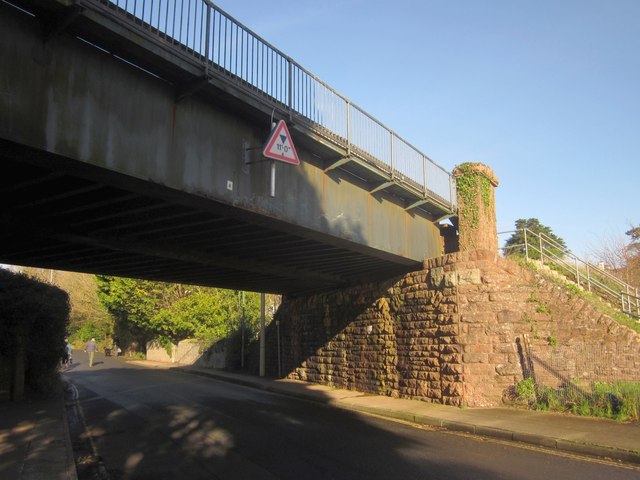
Image: © Derek Harper Taken: 15 Jan 2013
Unaccountably, the plate recording the number of this bridge describes it as "Cockington Court Road 220m 25.5ch TOR"; although I've had a look at some old maps, I can find no record of this being called Cockington Court Road.
Images are licensed for reuse under creativecommons.org/licenses/by-sa/2.0
Image Location
Latitude
50.456741
Longitude
-3.545457