Nottingham Canal, NG16
Introduction
The photograph on this page of Nottingham Canal, NG16 by David Hallam-Jones as part of the Geograph project.
The Geograph project started in 2005 with the aim of publishing, organising and preserving representative images for every square kilometre of Great Britain, Ireland and the Isle of Man.

There are currently over 7.5m images from over 14,400 individuals and you can help contribute to the project by visiting https://www.geograph.org.uk
Nottingham Canal, NG16
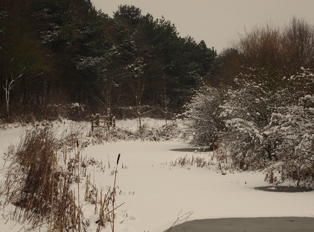
Image: © David Hallam-Jones Taken: 19 Jan 2013
With Mill Lane 10 mins walk behind of the photographer, this is a curved stretch of the Erewash Trail that will shortly join and cross Coronation Road (leading to Ilkeston). The footpath is running parallel with the disused Nottingham Canal.
Images are licensed for reuse under creativecommons.org/licenses/by-sa/2.0
Image Location
Latitude
52.978798
Longitude
-1.28866