Upper Field, Bernards Heath
Introduction
The photograph on this page of Upper Field, Bernards Heath by Ian Capper as part of the Geograph project.
The Geograph project started in 2005 with the aim of publishing, organising and preserving representative images for every square kilometre of Great Britain, Ireland and the Isle of Man.

There are currently over 7.5m images from over 14,400 individuals and you can help contribute to the project by visiting https://www.geograph.org.uk
Upper Field, Bernards Heath
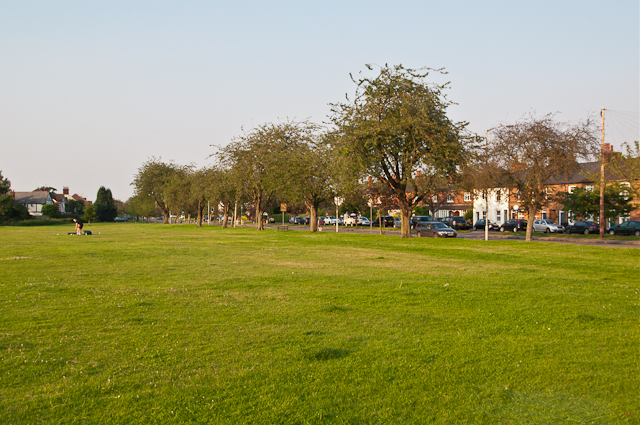
Image: © Ian Capper Taken: 25 Jul 2012
Lying alongside Sandridge Road, this area of common land is a popular recreation area. In the past it was used for playing cricket, being the site of the first playing of the game in St Albans in 1828 and for a time it served as the County cricket ground.
Images are licensed for reuse under creativecommons.org/licenses/by-sa/2.0
Image Location
Latitude
51.761253
Longitude
-0.328792