Lancaster Road
Introduction
The photograph on this page of Lancaster Road by Ian Capper as part of the Geograph project.
The Geograph project started in 2005 with the aim of publishing, organising and preserving representative images for every square kilometre of Great Britain, Ireland and the Isle of Man.

There are currently over 7.5m images from over 14,400 individuals and you can help contribute to the project by visiting https://www.geograph.org.uk
Lancaster Road
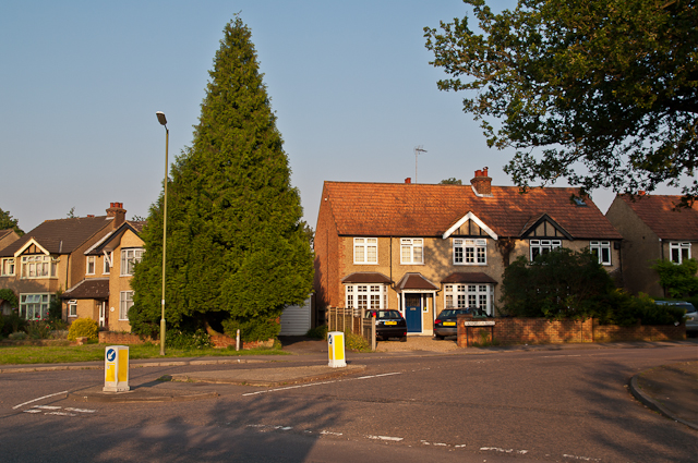
Image: © Ian Capper Taken: 25 Jul 2012
Lancaster Road at its junction with Sandridge Road. The road was built in the 1920s/30s, starting at its southern end, and its name is one of a number of road names in the area commemorating the Second Battle of St Albans of 1461, which took place in this part of St Albans.
Images are licensed for reuse under creativecommons.org/licenses/by-sa/2.0
Image Location
Latitude
51.765253
Longitude
-0.323021