High Weald Landscape Trail crossing field
Introduction
The photograph on this page of High Weald Landscape Trail crossing field by Dave Spicer as part of the Geograph project.
The Geograph project started in 2005 with the aim of publishing, organising and preserving representative images for every square kilometre of Great Britain, Ireland and the Isle of Man.

There are currently over 7.5m images from over 14,400 individuals and you can help contribute to the project by visiting https://www.geograph.org.uk
High Weald Landscape Trail crossing field
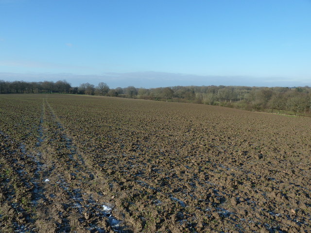
Image: © Dave Spicer Taken: 17 Jan 2013
Unfortunately the sun had thawed the top layer, resulting in my boots feeling like divers boots.
Images are licensed for reuse under creativecommons.org/licenses/by-sa/2.0
Image Location


Leaflet Map data © OpenStreetMap
Latitude
51.109818
Longitude
0.085258