Sandridge Road
Introduction
The photograph on this page of Sandridge Road by Ian Capper as part of the Geograph project.
The Geograph project started in 2005 with the aim of publishing, organising and preserving representative images for every square kilometre of Great Britain, Ireland and the Isle of Man.

There are currently over 7.5m images from over 14,400 individuals and you can help contribute to the project by visiting https://www.geograph.org.uk
Sandridge Road
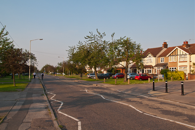
Image: © Ian Capper Taken: 25 Jul 2012
1930s housing on what was once an ancient country lane, possibly even of pre-Roman origin. The wide open verges are historic. Known as the Sandridge Road Wastes, they are strips of common land originally used for resting and grazing animals prior to market, with the right to use them free of charge having been granted following the Peasants' Revolt in 1381. They are now managed by St Albans City Council - see Image for a sign further along the road. The trees are flowering cherries planted in 1935 in commemoration of George V's Silver Jubilee. They make a striking display in spring when in flower, with the flowering colours being alternately red and white. These represent the colours of the Lancastrians and Yorkists in the War of the Roses, Sandridge Road and the adjacent Bernards Heath being the site of the Second Battle of St Albans in 1461.
Images are licensed for reuse under creativecommons.org/licenses/by-sa/2.0
Image Location
Latitude
51.762211
Longitude
-0.327249