
Former Ice Rink, Queen Square
Introduction
The photograph on this page of Former Ice Rink, Queen Square by Simon Carey as part of the Geograph project.
The Geograph project started in 2005 with the aim of publishing, organising and preserving representative images for every square kilometre of Great Britain, Ireland and the Isle of Man.

There are currently over 7.5m images from over 14,400 individuals and you can help contribute to the project by visiting https://www.geograph.org.uk
Former Ice Rink, Queen Square
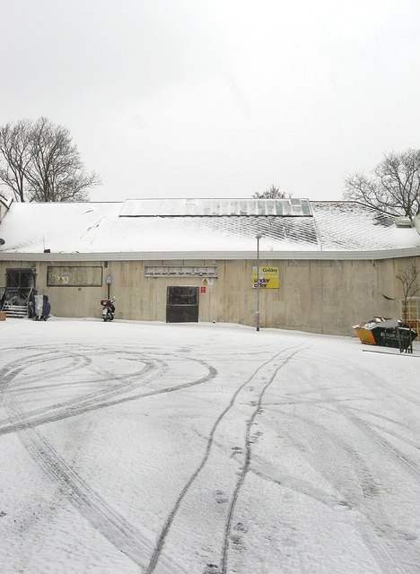
Image: © Simon Carey Taken: 18 Jan 2013
The northern end of the square which was developed in the 1850s was originally left open below the graveyard of St Nicholas' church but was later occupied by the current building which began life as a drill hall. The last users were the territorial army which also had accommodation in neighbouring Image and they left in the late 1960s. The hall was converted into a small ice rink and opened in 1970 and remained in use until its closure in 2003. Since then a number of developments have been proposed none of which have been successful. The current plan is to turn the space into a hotel though this has run into opposition from local interest groups. The square itself has housing up the west side and a large office building on the eastern side and is used as a taxi rank which for once was empty on this day.
Images are licensed for reuse under creativecommons.org/licenses/by-sa/2.0
Image Location

Latitude
50.82464
Longitude
-0.144009