Ormsgill Close, Hulme
Introduction
The photograph on this page of Ormsgill Close, Hulme by Marcus Hargis as part of the Geograph project.
The Geograph project started in 2005 with the aim of publishing, organising and preserving representative images for every square kilometre of Great Britain, Ireland and the Isle of Man.

There are currently over 7.5m images from over 14,400 individuals and you can help contribute to the project by visiting https://www.geograph.org.uk
Ormsgill Close, Hulme
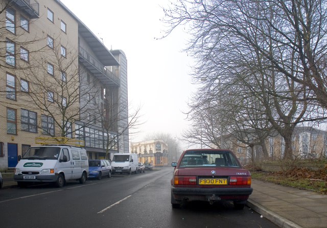
Image: © Marcus Hargis Taken: 5 Feb 2007
On the left is the 'Homes for Change' building - a housing co-operative. Beyond that is The Junction public house on Old Birley Street/Rolls Crescent.
Images are licensed for reuse under creativecommons.org/licenses/by-sa/2.0
Image Location
Latitude
53.465702
Longitude
-2.248802