Ilkeston, DE7
Introduction
The photograph on this page of Ilkeston, DE7 by David Hallam-Jones as part of the Geograph project.
The Geograph project started in 2005 with the aim of publishing, organising and preserving representative images for every square kilometre of Great Britain, Ireland and the Isle of Man.

There are currently over 7.5m images from over 14,400 individuals and you can help contribute to the project by visiting https://www.geograph.org.uk
Ilkeston, DE7
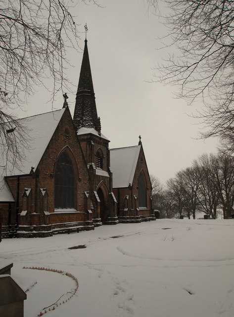
Image: © David Hallam-Jones Taken: 19 Jan 2013
This picture was taken from inside the boundary railings of Park Cemetery with Park Crescent behind the photographer. The first burial took place here in the 1892 although the cemetery's Grade II-listed twin-chapel complex with its tower was not built until 1910. The main gates are on the right of this picture.
Images are licensed for reuse under creativecommons.org/licenses/by-sa/2.0
Image Location


Leaflet Map data © OpenStreetMap
Latitude
52.970605
Longitude
-1.301749