King Street vista
Introduction
The photograph on this page of King Street vista by Bill Harrison as part of the Geograph project.
The Geograph project started in 2005 with the aim of publishing, organising and preserving representative images for every square kilometre of Great Britain, Ireland and the Isle of Man.

There are currently over 7.5m images from over 14,400 individuals and you can help contribute to the project by visiting https://www.geograph.org.uk
King Street vista
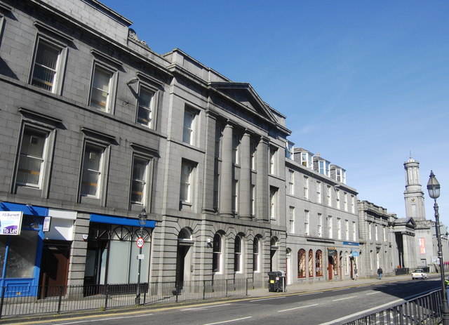
Image: © Bill Harrison Taken: 8 Sep 2012
The southern end of King Street, just above where it connects to Union Street and the Castlegate. The lack of cars on a Saturday morning is definitely a statistical freak.
Images are licensed for reuse under creativecommons.org/licenses/by-sa/2.0
Image Location
Latitude
57.148539
Longitude
-2.09369