John Street, Kingston upon Hull
Introduction
The photograph on this page of John Street, Kingston upon Hull by Bernard Sharp as part of the Geograph project.
The Geograph project started in 2005 with the aim of publishing, organising and preserving representative images for every square kilometre of Great Britain, Ireland and the Isle of Man.

There are currently over 7.5m images from over 14,400 individuals and you can help contribute to the project by visiting https://www.geograph.org.uk
John Street, Kingston upon Hull
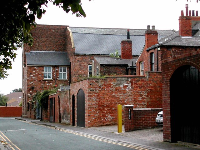
Image: © Bernard Sharp Taken: Unknown
The rear of the north side of the street seen from Eggington Street. The former Christ Church School is easternmost of the terrace.
Images are licensed for reuse under creativecommons.org/licenses/by-sa/2.0
Image Location
Latitude
53.748181
Longitude
-0.338242