Pasture Land in the Great Ouse Valley
Introduction
The photograph on this page of Pasture Land in the Great Ouse Valley by Nigel Stickells as part of the Geograph project.
The Geograph project started in 2005 with the aim of publishing, organising and preserving representative images for every square kilometre of Great Britain, Ireland and the Isle of Man.

There are currently over 7.5m images from over 14,400 individuals and you can help contribute to the project by visiting https://www.geograph.org.uk
Pasture Land in the Great Ouse Valley
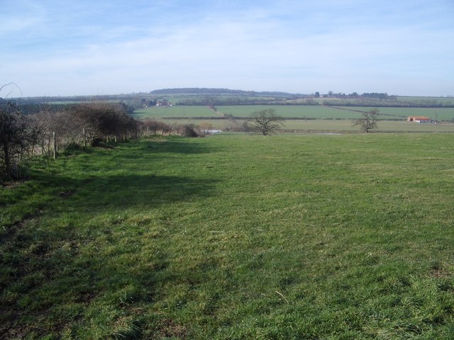
Image: © Nigel Stickells Taken: 4 Feb 2007
The hedgerow on the left is the parish boundary between Carlton and Turvey in Bedfordshire. The River Great Ouse is just visible in the shallow valley bottom. The county boundary with Buckinghamshire extends up to Tollgate Cottages far distance left, see SP9354.
Images are licensed for reuse under creativecommons.org/licenses/by-sa/2.0
Image Location
Latitude
52.181601
Longitude
-0.622214