No more learning here
Introduction
The photograph on this page of No more learning here by Steve Fareham as part of the Geograph project.
The Geograph project started in 2005 with the aim of publishing, organising and preserving representative images for every square kilometre of Great Britain, Ireland and the Isle of Man.

There are currently over 7.5m images from over 14,400 individuals and you can help contribute to the project by visiting https://www.geograph.org.uk
No more learning here
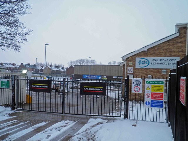
Image: © Steve Fareham Taken: 19 Jan 2013
The school is being demolished after the opening of the combined Darfield and Wombwell ALC school Netherwood. Image SeeImage
Images are licensed for reuse under creativecommons.org/licenses/by-sa/2.0
Image Location


Leaflet Map data © OpenStreetMap
Latitude
53.535429
Longitude
-1.375176