Cliff South of Port's Head
Introduction
The photograph on this page of Cliff South of Port's Head by MDS as part of the Geograph project.
The Geograph project started in 2005 with the aim of publishing, organising and preserving representative images for every square kilometre of Great Britain, Ireland and the Isle of Man.

There are currently over 7.5m images from over 14,400 individuals and you can help contribute to the project by visiting https://www.geograph.org.uk
Cliff South of Port's Head
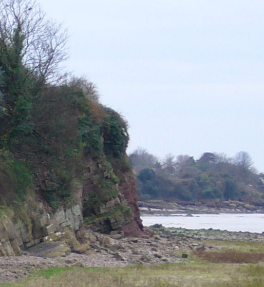
Image: © MDS Taken: Unknown
Portishead solid rock cliffs toward Redcliff Bay beyond the embayment shown, showing fracture planes; near the renowned Fish Bone Bed. Wave cut platform. This is the ridge that protects the houses and forms the Hole in One valley north side, the valley stream enters the bay near the next low promontory; toward the north and east of this cliff ridge the diverted stream flows to the lake.
Images are licensed for reuse under creativecommons.org/licenses/by-sa/2.0
Image Location
Latitude
51.489275
Longitude
-2.777707