Archway, looking towards 'Birley Fields' development
Introduction
The photograph on this page of Archway, looking towards 'Birley Fields' development by Marcus Hargis as part of the Geograph project.
The Geograph project started in 2005 with the aim of publishing, organising and preserving representative images for every square kilometre of Great Britain, Ireland and the Isle of Man.

There are currently over 7.5m images from over 14,400 individuals and you can help contribute to the project by visiting https://www.geograph.org.uk
Archway, looking towards 'Birley Fields' development
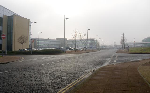
Image: © Marcus Hargis Taken: 5 Feb 2007
The 'Birley Fields' development seems to comprise these two office blocks, one of which has been vacant for well over four years. Greenheys Lane West and ASDA petrol station in the background. Image taken at the junction with Phoenix Way.
Images are licensed for reuse under creativecommons.org/licenses/by-sa/2.0
Image Location


Leaflet Map data © OpenStreetMap
Latitude
53.46283
Longitude
-2.246375