Gorseway at Heathfield Road
Introduction
The photograph on this page of Gorseway at Heathfield Road by E Gammie as part of the Geograph project.
The Geograph project started in 2005 with the aim of publishing, organising and preserving representative images for every square kilometre of Great Britain, Ireland and the Isle of Man.

There are currently over 7.5m images from over 14,400 individuals and you can help contribute to the project by visiting https://www.geograph.org.uk
Gorseway at Heathfield Road
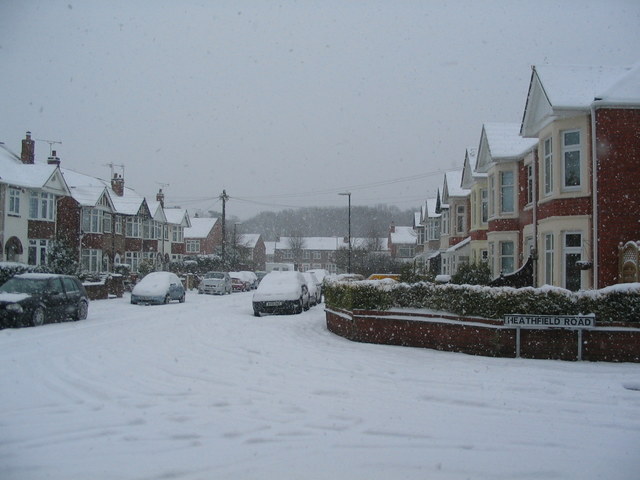
Image: © E Gammie Taken: 18 Jan 2013
Looking east along Gorseway from the junction with Heathfield Road. It had been snowing steadily all morning and reached about 10cm by this time. The housing here is short bay-windowed terraces dating from the 1930s, typical of many of Coventry's suburbs. The trees beyond the houses are on Hearsall Common.
Images are licensed for reuse under creativecommons.org/licenses/by-sa/2.0
Image Location
Latitude
52.407978
Longitude
-1.552483