Land Earmarked For Development in Hulme
Introduction
The photograph on this page of Land Earmarked For Development in Hulme by Marcus Hargis as part of the Geograph project.
The Geograph project started in 2005 with the aim of publishing, organising and preserving representative images for every square kilometre of Great Britain, Ireland and the Isle of Man.

There are currently over 7.5m images from over 14,400 individuals and you can help contribute to the project by visiting https://www.geograph.org.uk
Land Earmarked For Development in Hulme
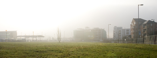
Image: © Marcus Hargis Taken: 5 Feb 2007
This image, taken from Phoenix Way, with Old Birley Street on the right, is a snapshot in time. None of these buildings were around ten to fifteen years ago and the waste ground in the foreground will no doubt be built on in the future as part of Hulme's ongoing regeneration.
Images are licensed for reuse under creativecommons.org/licenses/by-sa/2.0
Image Location
Latitude
53.461749
Longitude
-2.247875