Charter Row
Introduction
The photograph on this page of Charter Row by David Lally as part of the Geograph project.
The Geograph project started in 2005 with the aim of publishing, organising and preserving representative images for every square kilometre of Great Britain, Ireland and the Isle of Man.

There are currently over 7.5m images from over 14,400 individuals and you can help contribute to the project by visiting https://www.geograph.org.uk
Charter Row
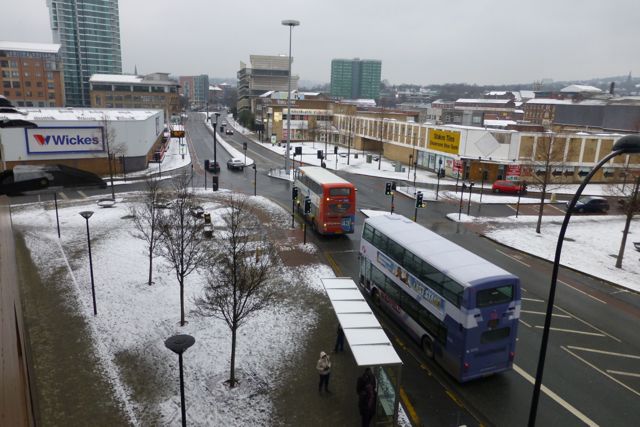
Image: © David Lally Taken: 18 Jan 2013
Charter Row is the road passing the viewpoint. At the junction Cumberland Street joins from the left. The road continues as Moore Street and Fitzwilliam Street joins from the right. The viewpoint is level 1 of the Atkinson's car park.
Images are licensed for reuse under creativecommons.org/licenses/by-sa/2.0
Image Location
Latitude
53.375467
Longitude
-1.476125